The ancient sites of Uganda are a scattered group of rock-art shelters, Iron Age earthworks and royal burial grounds spread across the country from roughly 8,000 years before present to the late nineteenth century CE. Uganda’s archaeological record runs from Stone Age tool scatters on the shores of the Rift Valley lakes to a royal burial ground rebuilt within living memory. The country’s best-known monuments cluster in two very different landscapes: the granite shelters of the eastern plains, where hunter-gatherers painted geometric panels before 1250 CE, and the cattle-country grasslands west of Lake Victoria, where an Iron Age polity dug some ten square kilometres of ditches in the fourteenth and fifteenth centuries. Together they map a sequence of occupation stretching across at least ten millennia.
How Old Are Uganda’s Oldest Archaeological Sites?
The deepest layer of Uganda’s past is lithic rather than architectural. Acheulean handaxes have been recorded at the Mweya Peninsula and at Paraa, and Middle Stone Age material is known from Chobe. The oldest human skeletal remains yet recovered in the country come from the Kikorongo crater area near Lake George and date to roughly 8,000 to 10,000 years before present.
For the Late Stone Age the key site is the Nsongezi rock shelter in Isingiro District, about 57 kilometres south of Mbarara in the far south-west. Nsongezi is the only site in Uganda to have produced an extensive Late Stone Age assemblage combining microliths with dimple-based pottery. Excavation in 1961 recovered flaked stone and ceramics, with evidence of occupation continuing into roughly the tenth century CE. Researchers have variously linked the shelter’s occupants to the Wilton industry, which is widespread across southern and eastern Africa in this period, and to ancestral Twa communities.
None of these sites is monumental. What they establish is continuity: by the time anyone raised a mound or cut a ditch in Uganda, people had been living in the same valleys for thousands of years.
Nyero Rock Paintings: Six Shelters in Kumi District
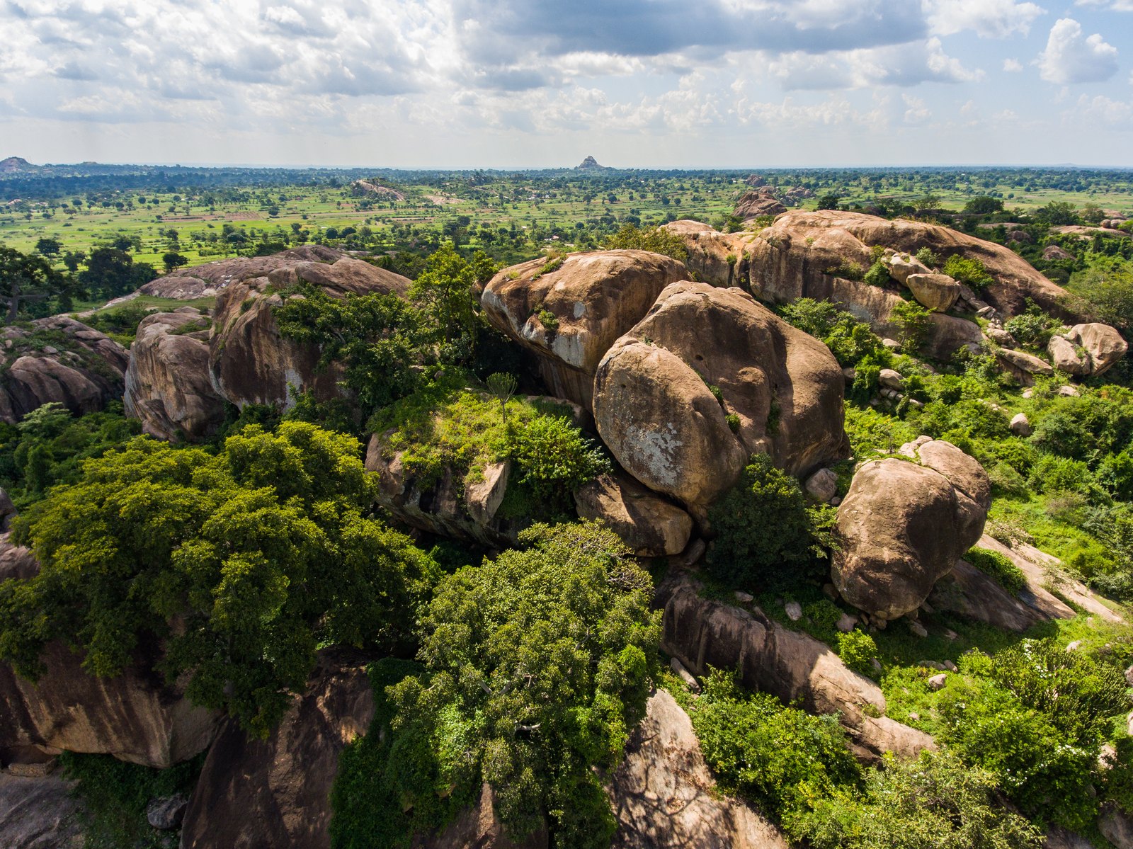
Nyero sits about eight kilometres west of Kumi town in eastern Uganda, roughly 250 kilometres from Kampala. The site is not a single panel but a complex of six numbered rock shelters, Nyero 1 through Nyero 6, formed by weathered granite boulders. The paintings are executed mainly in red pigment, with some white, and are dominated by geometric forms: concentric circles, ovals, sets of parallel lines and dotted arrangements rather than the animal and hunting scenes that characterise rock art further south.
The paintings are dated to before 1250 CE. They belong to a tradition attributed to Twa hunter-gatherer communities who once occupied the region and later moved on as Nilotic, Luo and Bantu-speaking farming populations settled the area. The comparison worth drawing is with the painted shelters of Laas Geel, where a very different, figurative tradition survives in Somaliland — the two sites bracket the range of rock art styles found in eastern Africa.
What the Geometric Panels Show
Interpretation remains open. The concentric circles at Nyero 2, the largest and most photographed shelter, have been read as rain-making symbols, as clan marks and as abstractions with no representational content at all. What can be said with confidence is that the shelters were revisited over a long period, and that the site retained ritual significance for local communities long after painting stopped.
Bigo bya Mugenyi and the Great Lakes Earthworks
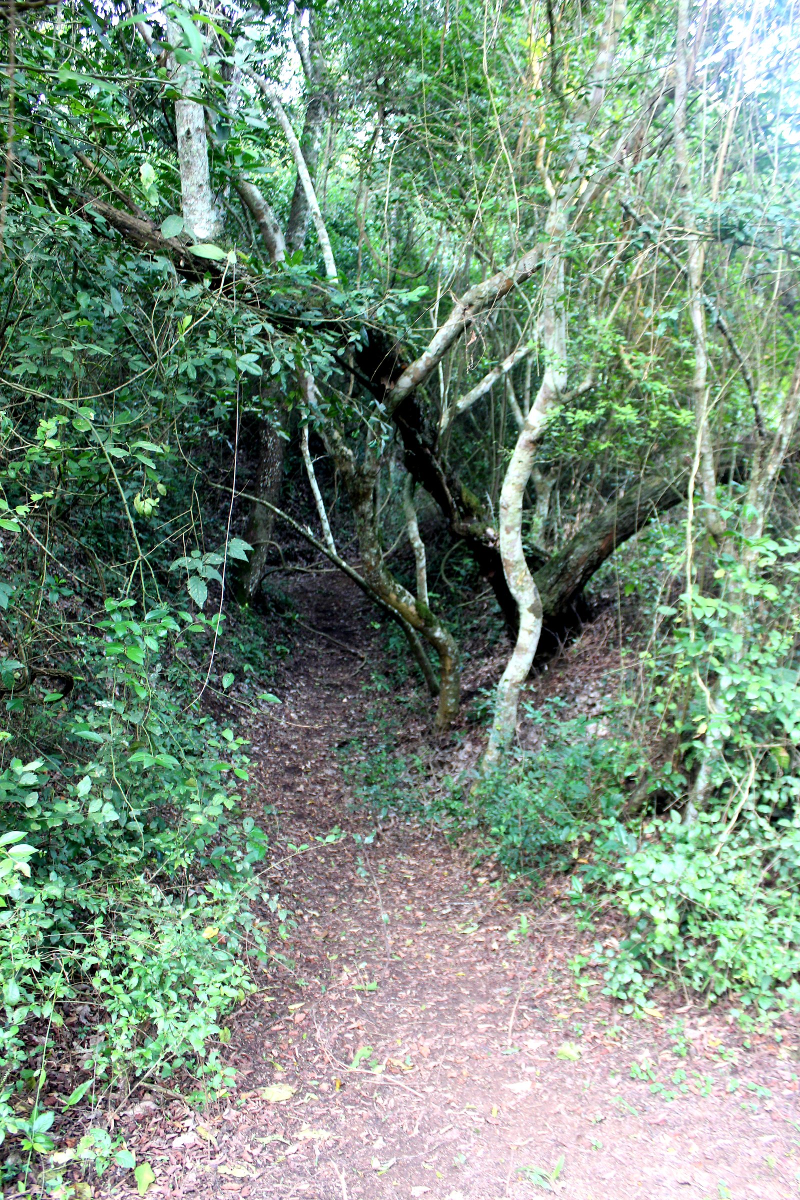
Bigo bya Mugenyi, in Sembabule District near the Katonga River, is the largest ancient monument in Uganda. The earthwork system covers roughly ten square kilometres at about 1,256 metres above sea level, and consists of concentric ditches and banks cut into the ground, enclosing an inner complex beside the river. The ditches were dug through hard laterite with iron tools, and the labour implied is substantial.
Radiocarbon dates place the main construction and occupation in the fourteenth and fifteenth centuries CE. Merrick Posnansky’s excavations in 1960, supplemented by work at related sites in 1988, 1994 and 1995, put Bigo and neighbouring Ntusi in the range of roughly AD 1200 to 1500. In Bunyoro and Buganda oral tradition, the earthworks are the work of the Bachwezi, a short-lived dynasty of semi-divine rulers credited with introducing long-horned cattle, ironworking and centralised kingship to the Great Lakes region. Archaeology has neither confirmed nor eliminated that tradition; what the excavations show is a cattle-keeping society with enough surplus and enough authority to organise earthmoving on a regional scale — a comparison that invites reading alongside the stone enclosures of Great Zimbabwe, built by a broadly contemporary southern African polity.
Ntusi and Munsa
Bigo does not stand alone. Ntusi, a short distance away, is a settlement mound complex with occupation debris, cattle enclosures and depressions interpreted as watering hollows. Munsa, in Kakumiro District, is the second-largest earthwork system in the country: a network of ditches surrounding Bikekete Hill, a granite outcrop riddled with tunnels and small caves, generally placed in the fifteenth to seventeenth centuries. The three sites together form the core evidence for state formation in the western Ugandan grasslands before the historical kingdoms of Bunyoro and Buganda emerge in the record.
Kasubi Tombs: Buganda’s Royal Burial Ground
The Kasubi Tombs occupy a hill in Kampala and are the most visited heritage site in Uganda. Kabaka Muteesa I, who reigned from 1856 to 1884, built his palace on the site in 1882; when he died two years later the palace became his burial place, and it has served as the royal necropolis ever since. Four kabakas lie there, including Muteesa I’s twentieth-century successors.
The principal building, the Muzibu Azaala Mpanga, is a circular structure with a thatched dome roof built entirely from organic materials — wooden poles, reeds, spear grass, wattle and daub. Its external diameter is about 31 metres and the interior rises some 7.5 metres. UNESCO inscribed the site on the World Heritage List in 2001 as a masterpiece of Ganda architecture and a living centre of Buganda spiritual practice. Fire destroyed the Muzibu Azaala Mpanga in March 2010, and a second fire followed in 2020. Reconstruction using traditional materials and clan-based labour was completed in 2023, after which the site was taken off UNESCO’s List of World Heritage in Danger.
As a royal funerary complex Kasubi belongs to a much wider African tradition of monumental burial that includes the Nubian pyramids of Sudan, though its materials and its continuing ritual use set it apart from anything built in stone.
Fort Patiko: Ocecu Hill and the Slave Route
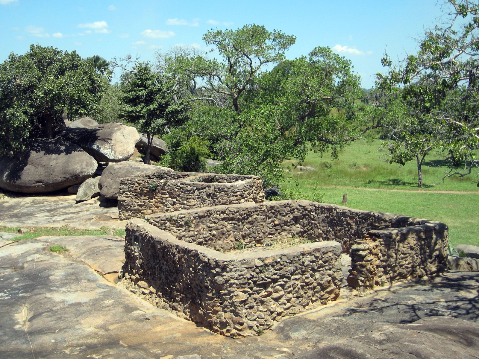
Fort Patiko, universally known as Baker’s Fort, stands on Ocecu Hill in Patiko sub-county, about 30 kilometres north of Gulu. The site was already in use as a holding and sorting point for enslaved people taken across East Africa: captives judged fit were marched north from Patiko through what is now South Sudan and across the Red Sea to Egypt.
Samuel Baker, commissioned to suppress the trade, arrived in 1872 with Nubian troops, drove out an estimated 250 traders and fortified the position. Baker and his successors Charles Gordon and Emin Pasha held the fort until 1888. What survives is a set of rock-cut trenches and stone walls set among granite outcrops, together with the flat rock where, according to local accounts, captives were held. It is the most recent site in this list by a wide margin and the only one whose history is documented in European archives as well as oral tradition.
Garama Cave, Namugongo and Other Sites Worth the Detour
Garama Cave lies in Mgahinga Gorilla National Park in Kisoro District, in the volcanic south-west. The cave is a lava tube roughly 342 metres long and about 14 metres deep, used historically by Batwa communities as a refuge and, according to tradition, by raiding parties operating against neighbouring farming settlements.
Namugongo, on the eastern edge of Kampala, marks the site where Christian converts at the Buganda court were executed in 1886. It is a pilgrimage destination rather than an archaeological site, drawing very large crowds each year on Martyrs’ Day, 3 June, and the modern basilica is deliberately built in the form of a traditional Ganda hut.
Further afield, the Ziwa-type stone-walled sites of southern Africa and the rock art of the Horn illustrate how much regional variation the continent’s ancient civilizations contain; Uganda’s own sites are best understood as one node in that wider network rather than in isolation.
Planning a Visit
The dry seasons — roughly June to August and December to February — make access easier at every site on this list, and matter most at Bigo bya Mugenyi and Munsa, where the approach is unsurfaced and the earthworks are easier to read when the grass is short. Kasubi charges an entrance fee and guided tours run throughout the day; visitors should note that it remains an active spiritual site with clan-based access rules, and photography inside the main building is restricted.
Nyero has a small visitor centre and a resident guide, and morning light gives the best visibility on the painted panels. Fort Patiko involves a short walk from the road. At the earthwork sites, a local guide is close to essential — without one, a ten-square-kilometre ditch system reads as ordinary grassland.
At a Glance
- Country: Uganda
- Cultures represented: Late Stone Age hunter-gatherers, Twa communities, Bachwezi-era cattle-keepers, Kingdom of Buganda
- Date range: c. 8,000 BP (Kikorongo human remains) to 1888 (final occupation of Fort Patiko)
- Largest monument: Bigo bya Mugenyi — c. 10 km² of earthworks, AD 1300-1500
- UNESCO World Heritage Site: Tombs of Buganda Kings at Kasubi, inscribed 2001
Sources and Further Reading