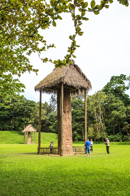
Quiriguá, an ancient Maya archaeological site located in the department of Izabal in south-eastern Guatemala, stands as a medium-sized site covering approximately 3 square kilometers along the lower Motagua River. The ceremonial center, situated about 1 km from the north bank of the river, reveals the strategic placement of Quiriguá at the juncture of several important trade routes during the Maya Classic Period (AD 200–900). The site’s occupation began by AD 200, with significant construction on the acropolis starting around AD 550. A notable expansion of construction occurred in the 8th century, marking a period of grandeur for Quiriguá, which came to a halt around AD 850, except for a brief reoccupation in the Early Postclassic period (c. AD 900 – c. AD 1200).
The Ancient Maya
Ancient Maya Historical Sites and Ruins
Maya Mythology
Gods and Goddesses
| Kukulkan |
| Chaac |
| Ix Chel |
| Ah Puch |
| Itzamna |
Ancient Maya Artifacts
| Chac Mool |
Coba-Yaxuna Sacbe
The Coba-Yaxuna Sacbe represents a pinnacle of ancient Maya engineering and serves as a testament to the civilization’s advanced understanding of construction and infrastructure. This sacbe, the longest known ancient raised stone road in the Maya world, extends approximately 62 miles (100 kilometers) across the Yucatan Peninsula, connecting the sites of Coba and Yaxuna. Dating from the Late Classic period (600-850 AD), its construction showcases the Maya’s sophisticated approach to overcoming the geographical challenges of their environment.
Xcalumkin
Xcalumkin, a Mayan archaeological zone located 73 kilometers northeast of Campeche, Mexico, offers a unique window into the ancient Mayan civilization and its architectural prowess. The site’s name, as recorded by explorer Teobert Maler in the 1880s, translates to “double good earth exposed to the Sun,” hinting at the region’s fertile land and its significance to the Mayan people. The Chilam Balam of Chumayel, a colonial-era document, suggests that Xcalumkin, or Tixcalomkin as it is referred to in the text, held importance in Mayan oral history.
Tohcok
Tohcok, also known as Tohkok, is a relatively obscure archaeological site located in close proximity to the town of Hopelchen, situated alongside Federal Highway 261, approximately 3 miles west. Despite its modest size, Tohcok offers a unique window into the artistic endeavors of the Maya civilization, particularly through its use of stone mosaic and stucco decorations.
Xel ha
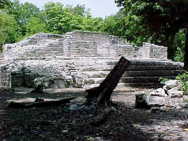
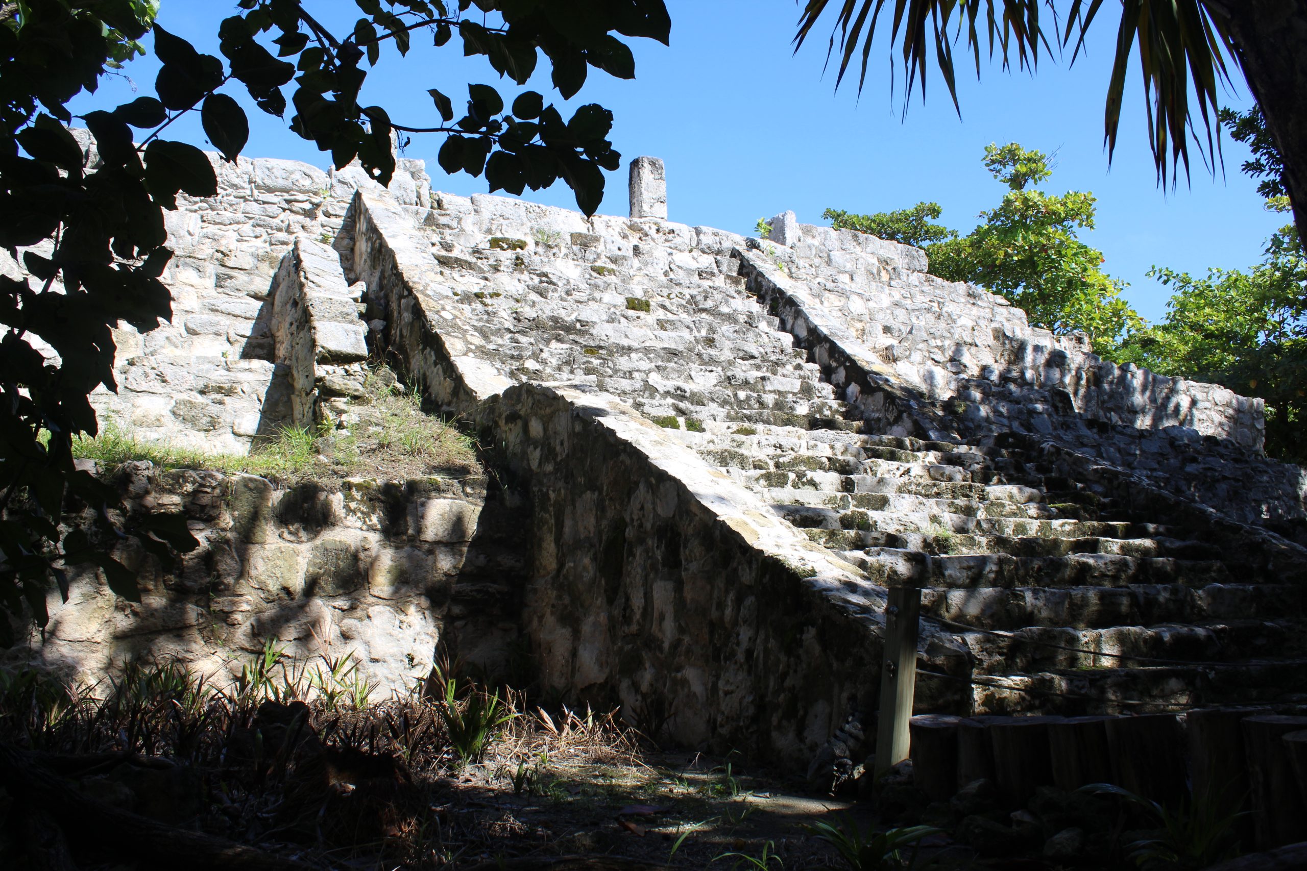
Xel Ha, translating to “Spring Water” in Yucatek Maya, stands as a testament to the ingenuity and cultural richness of the Maya civilization. This archaeological site, often overshadowed by its namesake tourist resort, offers a unique glimpse into the Maya’s architectural, religious, and social practices. Located on the Maya Riviera, Xel Ha’s strategic position along the Caribbean coast facilitated its role as a crucial trade port and pilgrimage embarkation point, particularly to the sacred shrine of Ix Chel on Cozumel Island.
San Miguelito
San Miguelito, a significant archaeological site from the Post Classic period (1100-1450 A.D.), is situated on Cancun Island. This site forms the northern extension of the larger El Rey site, with Avenida Kukulkan separating the two. San Miguelito was a part of the Ekab polity, which governed the northeastern Yucatan at the time of the Spanish invasion. The original name of San Miguelito remains unknown, with its current name deriving from a former coconut palm plantation in the area.