Ixkun: A Pre-Columbian Maya Capital in the Petén Basin
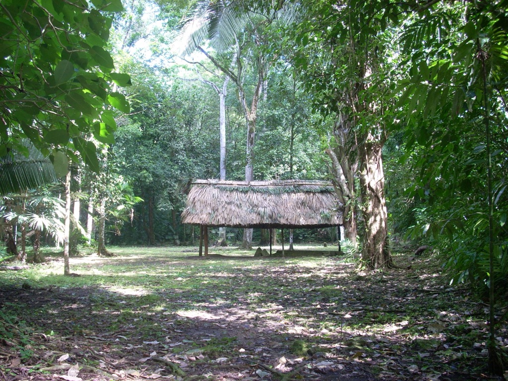
Ixkun, located in the southern Maya lowlands within the Petén Basin region of Guatemala, stands as a significant pre-Columbian archaeological site. Situated north of Dolores in the department of Petén, this site encompasses a vast array of unrestored mounds and ruins, marking it as a prominent archaeological site within the municipality of Dolores.
Get your dose of History via Email
Historical Overview
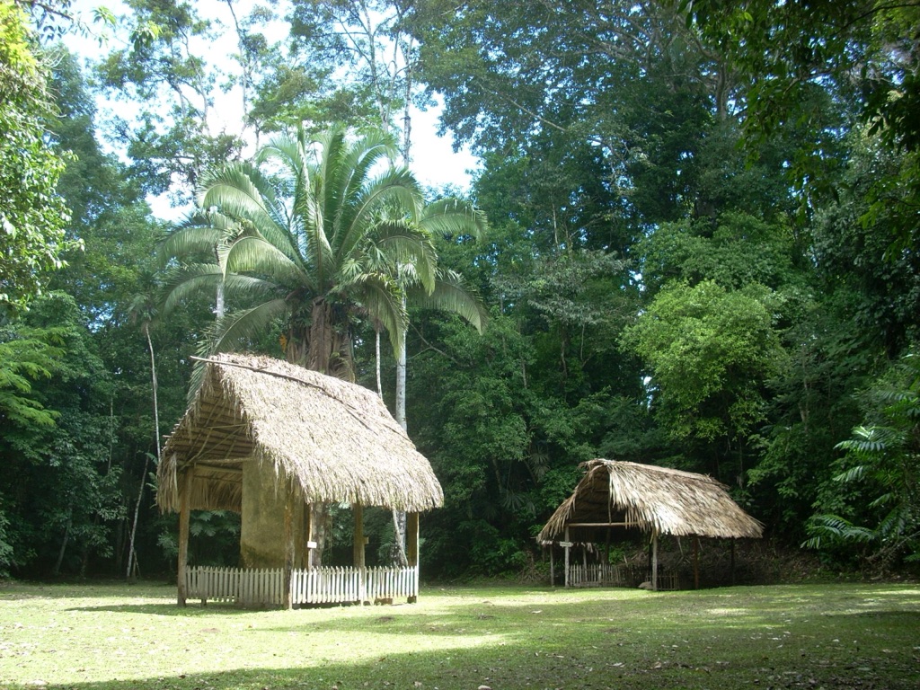
The city of Ixkun served as the capital of one of the four largest kingdoms in the upper Mopan Valley, alongside Curucuitz, Ixcol, and Ixtonton. The kingdom of Ixkun was a hierarchical society, with eight sites falling within its boundaries. Notably, Stela 1 at Ixkun is among the tallest stone monuments in the Petén Basin, highlighting the city’s significance in the region.
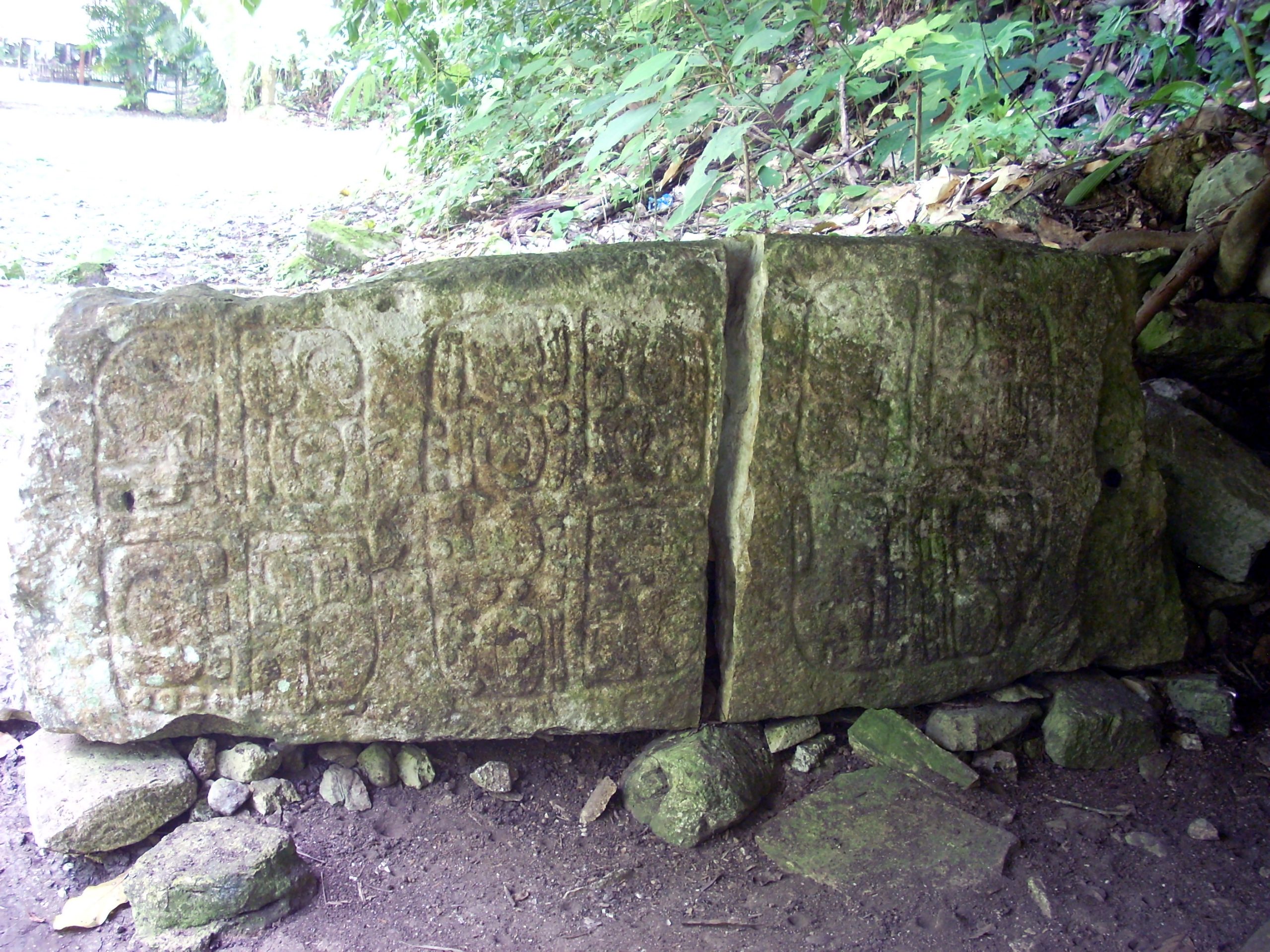
Ixkun’s occupation spanned from the Late Preclassic through to the Postclassic Period, with the Late Classic Period marking its zenith of activity. Despite extensive occupation, the site’s hieroglyphic inscriptions have suffered from erosion, making it challenging to identify an Emblem Glyph for Ixkun as of 2005.
Geographical Setting
Ixkun is strategically located on the Dolores plateau, within a valley that spans approximately 25 square kilometers. Its proximity to the Mopan River, just 4 kilometers east, and its location on a north-south trade route underscored its importance in controlling access to Ucanal and other cities within the Mopan drainage. The site’s agricultural potential, facilitated by the floodplains of the Mopan and Xa’an Rivers, further contributed to its prominence.
Political and Military History
The history of Ixkun is intricately linked with neighboring city-states, such as Sacul and Ucanal, reflecting broader political dynamics within the central Maya lowlands. The city experienced significant military engagements, including a victorious battle against Sacul in AD 779 and another against Ucanal in AD 780. These conflicts, under the rule of “Eight Skull” and later “Rabbit God K,” highlight Ixkun’s military prowess and strategic alliances, notably forming a military alliance with Sacul against an unidentified city, possibly Ixtonton.
Archaeological Investigations
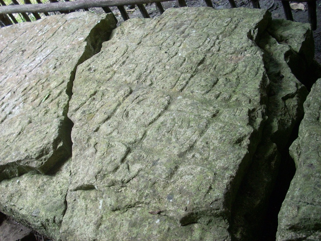
Ixkun has attracted explorers and archaeologists since the 19th century, with notable visits by Alfred Maudslay in 1887 and Sylvanus Morley in 1914. The site has undergone various mapping and excavation efforts, revealing its complex architectural and ceremonial landscape. The Altas Arqueológico de Guatemala has conducted extensive research since 1985, uncovering the site’s causeways, residential groups, and ceremonial complexes.
Architectural and Monumental Highlights
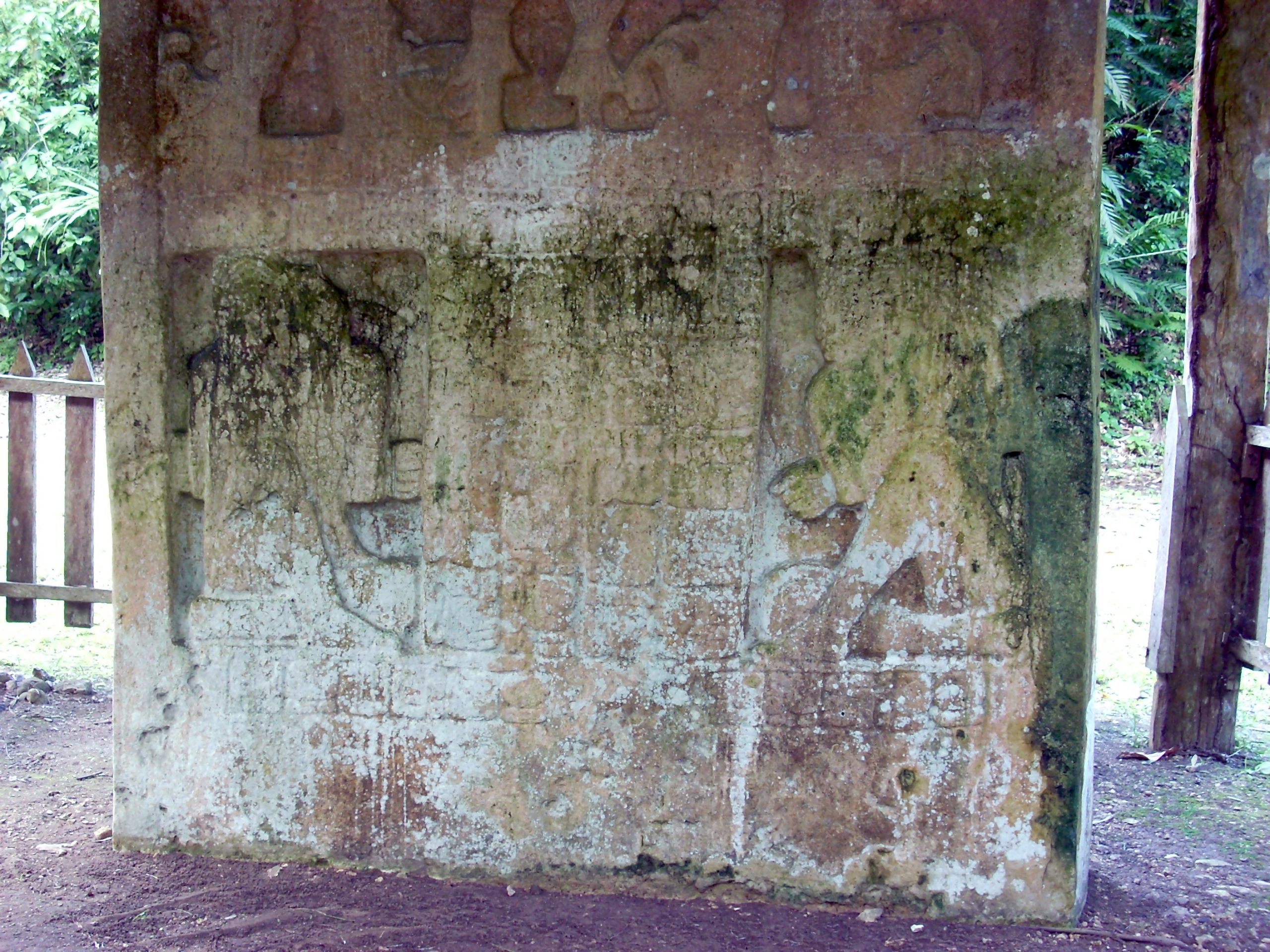
The site features a rich architectural landscape, including a ballcourt, temples, vaulted palaces, and an E-Group complex. The site core underwent three formal construction phases during the Late Classic period, with significant monuments such as Stela 1 and Stela 2 marking key historical events. The causeways, particularly the South and North Causeways, played crucial roles in connecting different parts of the city and facilitating ceremonial activities.
Conclusion
Ixkun stands as a testament to the complexity and richness of Maya civilization in the Petén Basin. Its strategic location, architectural grandeur, and historical significance underscore its role as a major political and ceremonial center in the southern Maya lowlands. Ongoing archaeological investigations continue to unravel the mysteries of Ixkun, offering insights into the lives of its inhabitants and their interactions with neighboring city-states.
Sources:
Wikipedia

