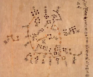
The Star Map of the Dunhuang Caves is one of the earliest known celestial maps in the world. It reflects ancient Chinese astronomical knowledge and the spiritual significance of the cosmos. Found in the Mogao Caves, also known as the Dunhuang Caves, this map holds immense value for understanding early Chinese astronomy and religious symbolism….
Maps
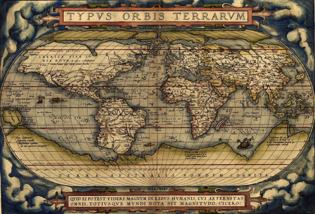
Ancient maps were created to represent the world as people knew it at the time. They helped explorers navigate unknown territories and showed early ideas of geography. These maps give us a glimpse into how ancient civilizations saw the world around them.
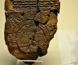
Babylonian Map Of The World
The Babylonian Map of the World, known as the Imago Mundi, represents one of the earliest attempts to depict the known world. This ancient artifact provides insights into how the Babylonians viewed geography and their place within it. The map dates to the 6th century BC and originates from Sippar, Iraq. It is currently housed…
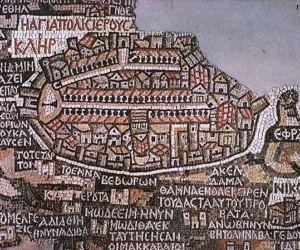
The Madaba Map
The Madaba Map, a significant artifact in the study of early Christian cartography, is one of the oldest surviving maps of the Holy Land. This mosaic map, discovered in the 19th century, offers invaluable insights into the geographical understanding and religious landscapes of the 6th century AD. It serves as both an artistic masterpiece and…
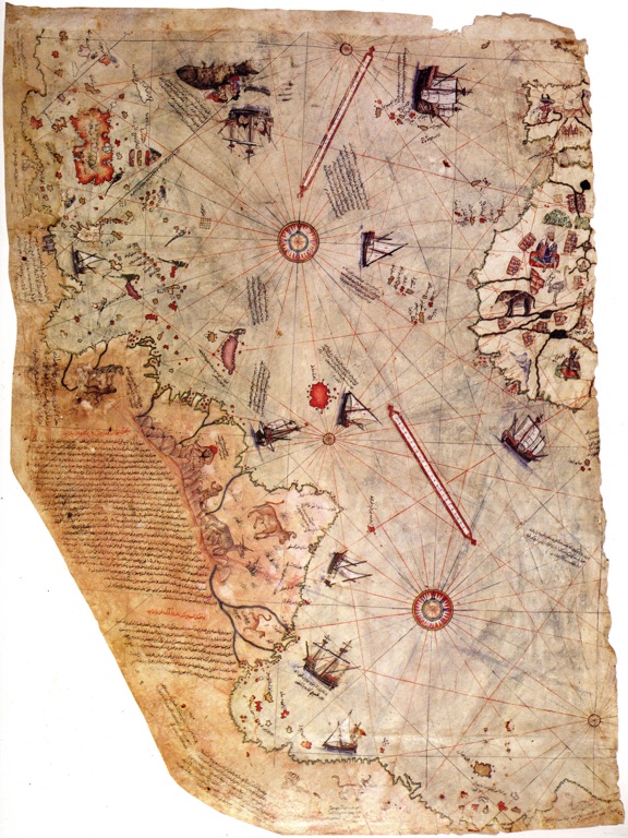
The Piri Reis map
The Piri Reis map, named after its creator, Ottoman Admiral Piri Reis, is a fascinating artifact from the early 16th century. It’s known for its unique depiction of the world, particularly the Americas, during a time when cartographic knowledge was limited. The map, drawn on gazelle skin parchment, has sparked intrigue and debate among historians and scholars due to its remarkable accuracy and the mystery surrounding its creation. The Piri Reis map was created in 1513, a time when the New World was still being explored. It’s believed that Piri Reis used a variety of sources, including maps from Columbus’s voyages, to compile his own map.

Maps of Ancient Civilizations and Empires
Ancient civilization maps provide us with a fascinating glimpse into the past, revealing how our ancestors perceived their world and its geography. These historical treasures serve as an invaluable tool for understanding various aspects of ancient cultures, including trade routes, political boundaries, agricultural practices and even religious beliefs.

