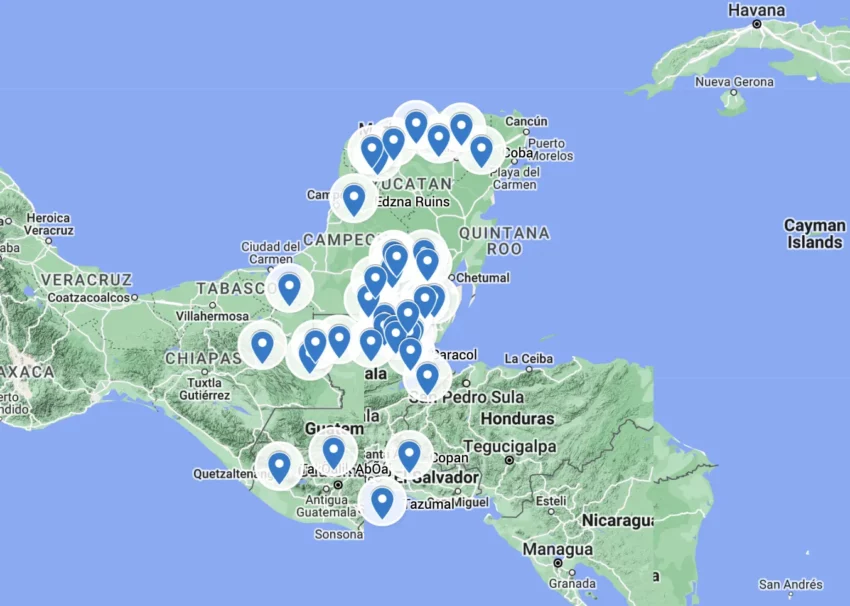
Where are the Mayan pyramids?
The Mayan pyramids are located in several regions across Central America, primarily in Mexico, Guatemala, Belize, Honduras, and El Salvador. Here is a map of all known Ancient Maya Pyramids
Get your dose of History via Email
Direct link to the Maya Pyramids Map
Why did the Maya build pyramids?
The Maya built pyramids for several important reasons:
- Religious and Ceremonial Purposes: The pyramids served as temples for worship and rituals dedicated to their gods. They were often the centerpieces of Mayan cities, used for various ceremonies, including sacrifices and offerings to deities.
- Astronomical Observations: Many pyramids were designed with precise alignments to track celestial events, such as solstices, equinoxes, and planetary movements. These alignments helped the Maya develop their advanced calendar systems.
- Political Power and Prestige: Pyramids demonstrated the power and authority of the rulers who commissioned their construction. Building these massive structures showcased the ruler’s ability to mobilize and control large workforces.
- Burial Sites: Some pyramids served as tombs for elite members of society, including kings and high priests. Burial within a pyramid was a way to honor the deceased and ensure their place in the afterlife.
- Community and Social Cohesion: The construction of pyramids required the collective effort of the community, fostering social unity and cooperation among the Maya people.
How were the Mayan pyramids built?
The Mayan pyramids were built using advanced engineering techniques and a large, organized workforce. Here are the key steps and methods involved:
- Site Selection and Preparation: The Maya chose sites based on religious significance, astronomical alignment, and the suitability of the land. They cleared the site and prepared a stable foundation, often using a raised platform.
- Material Sourcing: The primary materials were limestone, sandstone, and volcanic tuff, sourced locally. Workers quarried large stone blocks and transported them to the construction site using human labor, as the Maya did not have draft animals or wheeled vehicles.
- Construction Techniques:
- Core and Veneer Method: The pyramids had a core of rough, rubble fill surrounded by finely cut stone blocks. This method provided stability and allowed for the construction of large structures.
- Step Construction: Pyramids were built in stepped layers, with each layer being smaller than the one below, creating a terraced appearance.
- Labor Organization: A large workforce, including skilled laborers, artisans, and common workers, was organized to work on different aspects of the construction. Work was often carried out as a communal or religious duty.
- Use of Mortar: The Maya used a form of lime mortar to bind the stones together. This mortar was made by burning limestone to create quicklime, then mixing it with water and other materials.
- Finishing Touches: The exterior was often covered with stucco and painted with bright colors. Intricate carvings, murals, and inscriptions adorned the pyramids, depicting religious and historical scenes.
How old are Mayan pyramids?
The age of Mayan pyramids varies, as they were constructed over a long period during the Maya civilization. The oldest Mayan pyramids date back to around 1000 BC, while others were built as late as the 9th century CE. Here are some key periods:
- Preclassic Period (2000 BC – 250 AD): Some of the earliest pyramids were built during this time, such as those at El Mirador in Guatemala, which date back to around 600 BC.
- Classic Period (250 AD – 900 AD): This period saw the construction of many of the most famous pyramids, including those at Tikal (Guatemala), Palenque (Mexico), and Copan (Honduras).
- Postclassic Period (900 AD – 1500 AD): Pyramids continued to be built and maintained, with notable examples including those at Chichen Itza (Mexico), which were constructed and used during this later period.
Full List of Ancient Maya Sites and Pyramids
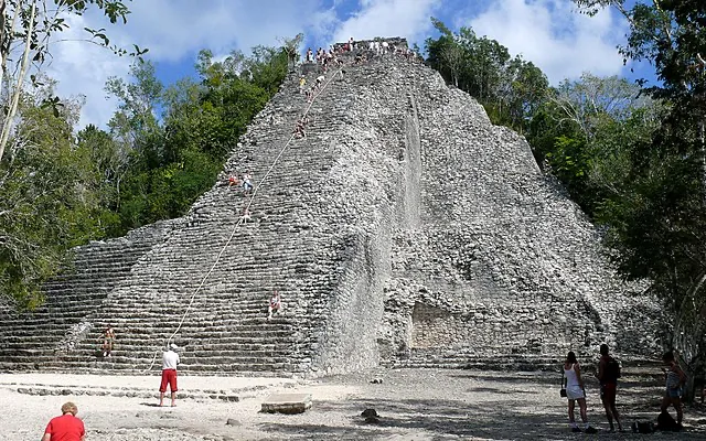
- Structures: Features the Nohoch Mul pyramid, the tallest in the Yucatan Peninsula.
- Description: Cobá was a major Maya city with a vast network of sacbeob (white roads) connecting it to other sites.
- Coordinates: 20.4883° N, 87.7386° W
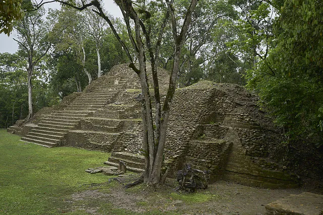
- Structures: Cahal Pech is a collection of 34 structures, including temples, palaces, and a ball court. The tallest structure is about 25 meters high.
- Description: The site was a palatial hilltop home for an elite Maya family and dates back to 1200 BCE. It features a central acropolis with several plazas.
- Coordinates: 17.1457° N, 89.0741° W
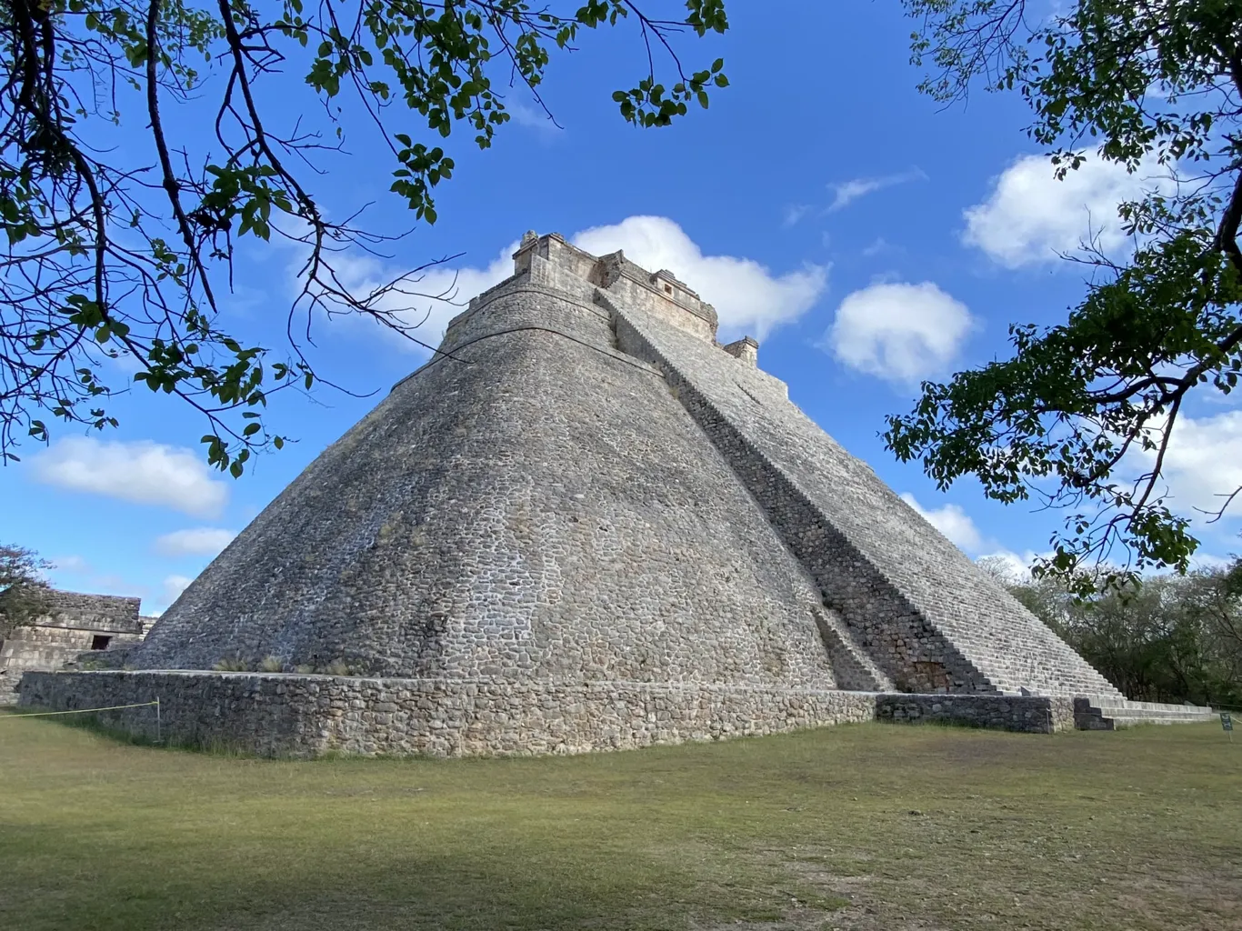
- Structures: Uxmal is renowned for its numerous impressive structures, with the Pyramid of the Magician being the most prominent. This pyramid is unique due to its rounded shape and steep sides, with an oval base that sets it apart from other Maya pyramids.
- Description: According to local legend, the Pyramid of the Magician was built in one night by a dwarf with magical powers.
- Coordinates: 20.3592° N, 89.7686° W
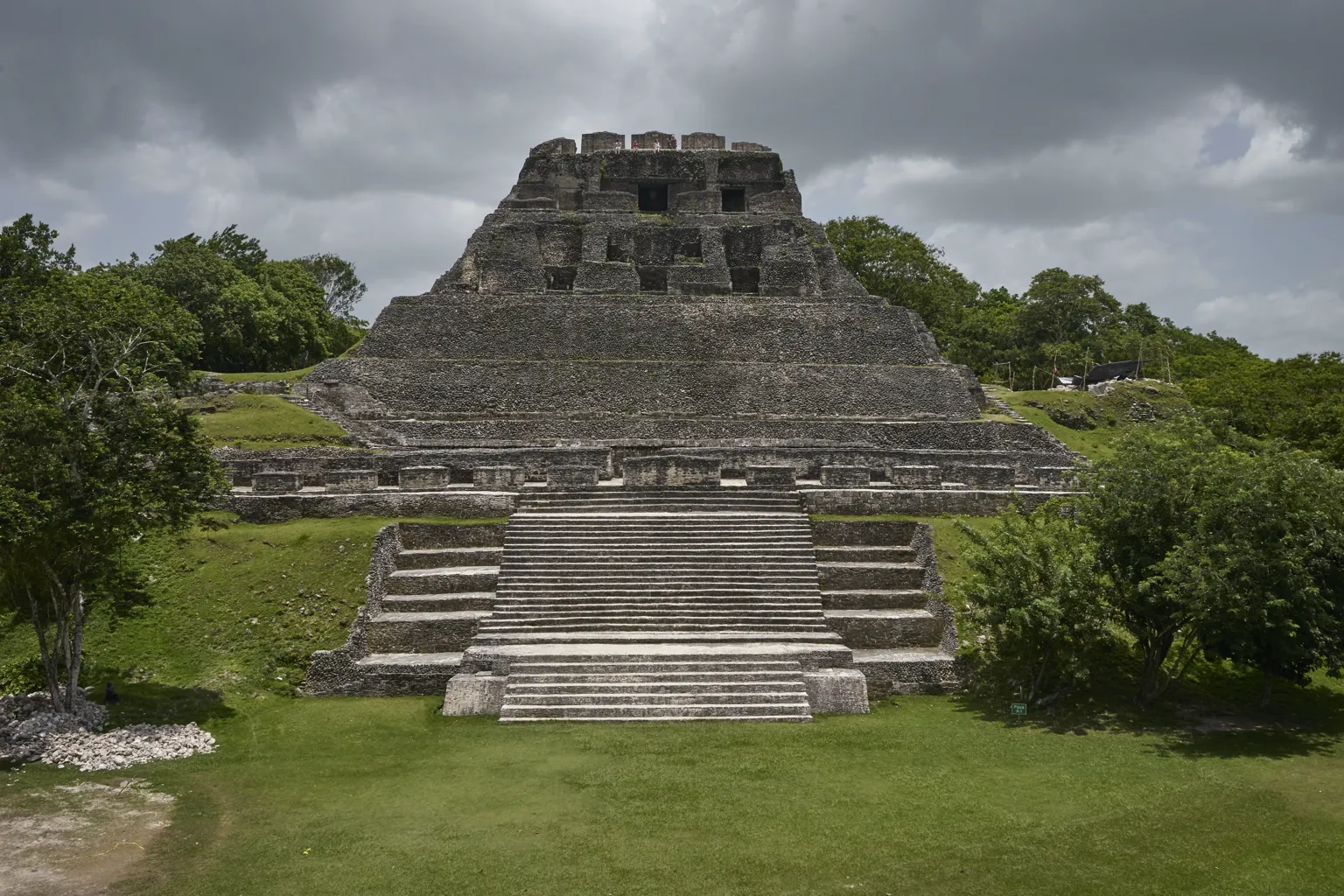
- Structures: The site is dominated by the pyramid “El Castillo,” which stands at approximately 40 meters tall.
- Description: Xunantunich served as a Maya civic ceremonial center in the Late and Terminal Classic periods. The site is known for its stucco frieze.
- Coordinates: 17.0899° N, 89.1410° W
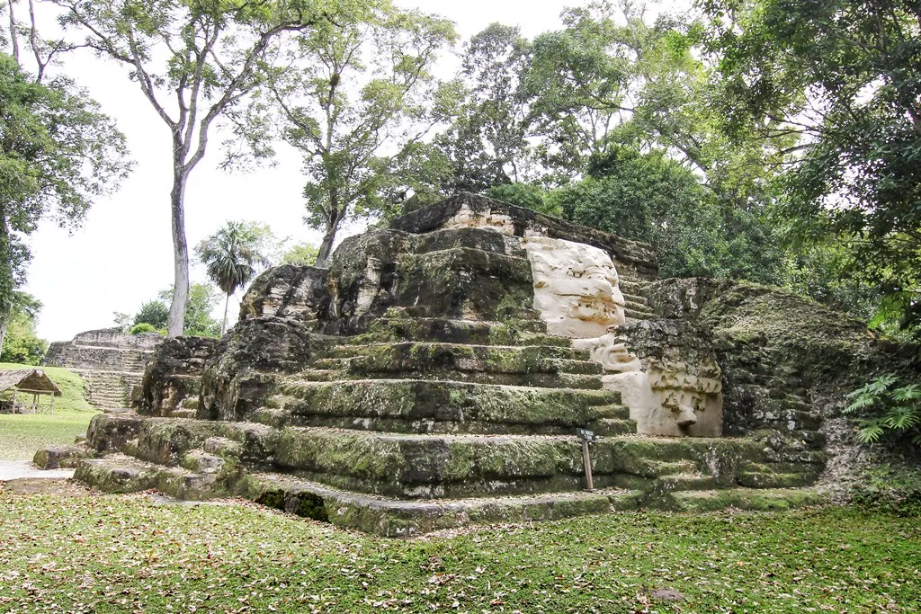
- Structures: Features several complexes, including E-Groups and pyramids, with the notable Pyramid E-VII-sub.
- Description: One of the oldest known Maya ceremonial centers, with continuous occupation and construction from the Preclassic period.
- Coordinates: 17.3933° N, 89.6341° W
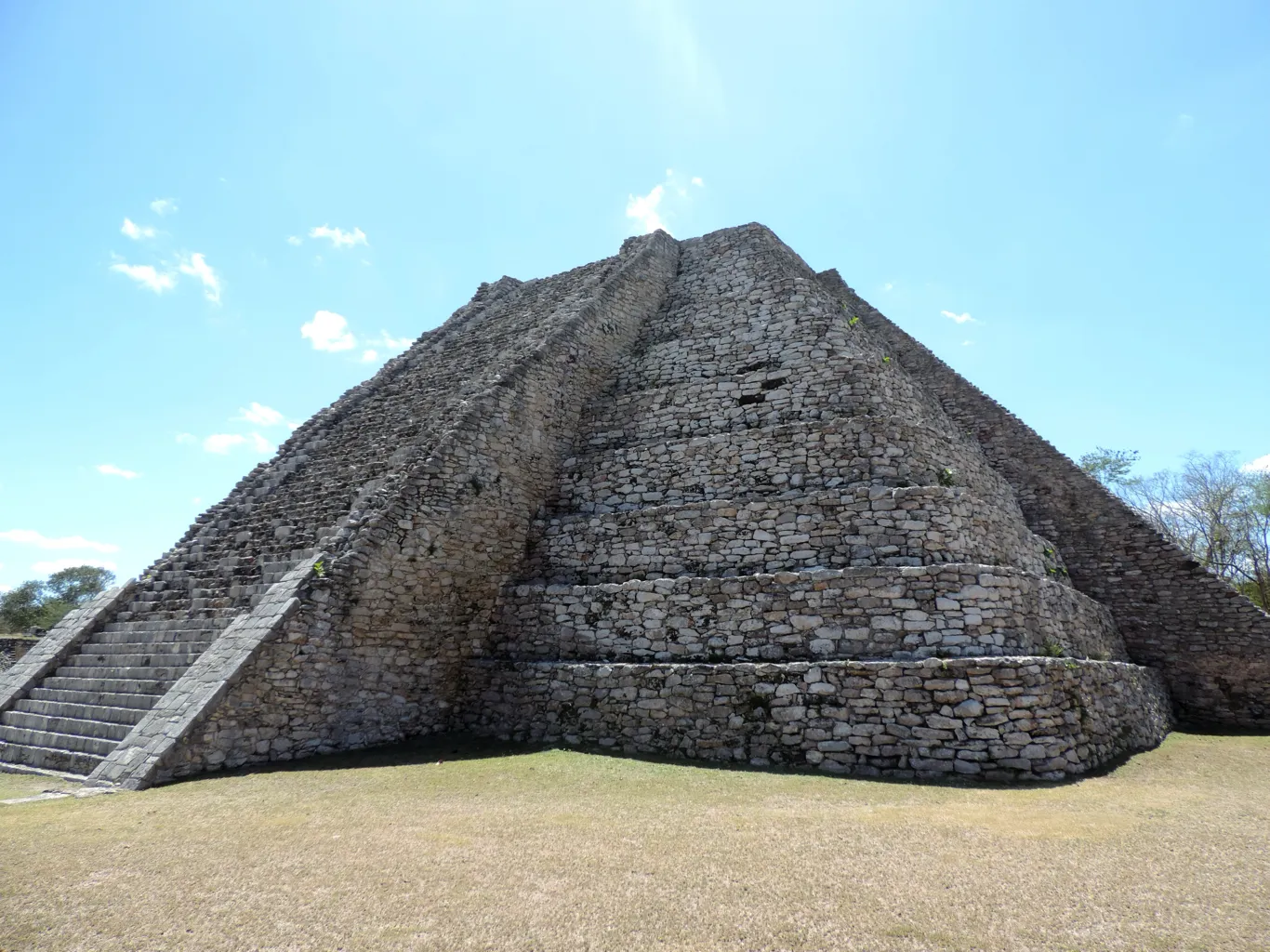
- Structures: The main pyramid is the Temple of Kukulcán, surrounded by several smaller temples and residential structures.
- Description: Known as the last great Maya capital, Mayapan features dense clusters of buildings within its city walls.
- Coordinates: 20.6297° N, 89.4490° W
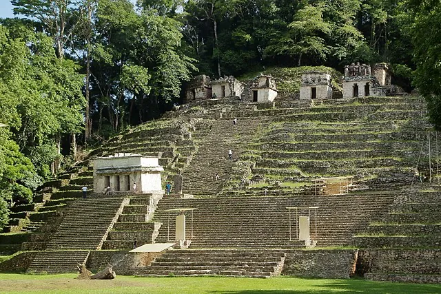
- Structures: Famous for its Temple of Murals, which contains vivid wall paintings.
- Description: The murals at Bonampak depict various aspects of Maya life, including warfare, ceremonies, and daily activities.
- Coordinates: 16.7053° N, 91.0683° W
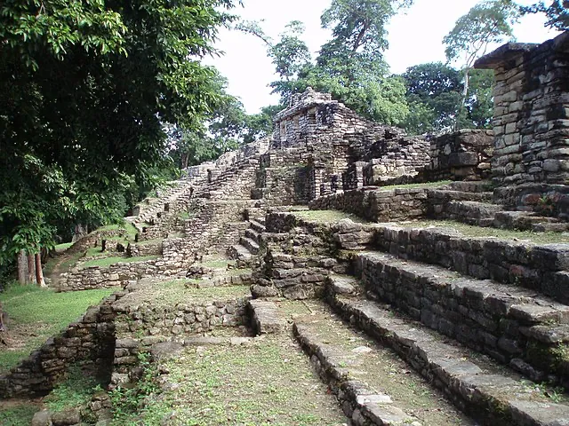
- Structures: Known for its impressive temples, stelae, and hieroglyphic stairways.
- Description: Yaxchilan’s architecture and inscriptions provide valuable insights into the political history of the Maya civilization.
- Coordinates: 16.9003° N, 90.9692° W

- Structures: Features the Temple of the Owl and the Temple of the Captives.
- Description: Dzibanche was an important political center in the Classic period and has several large pyramids.
- Coordinates: 18.5772° N, 88.8641° W
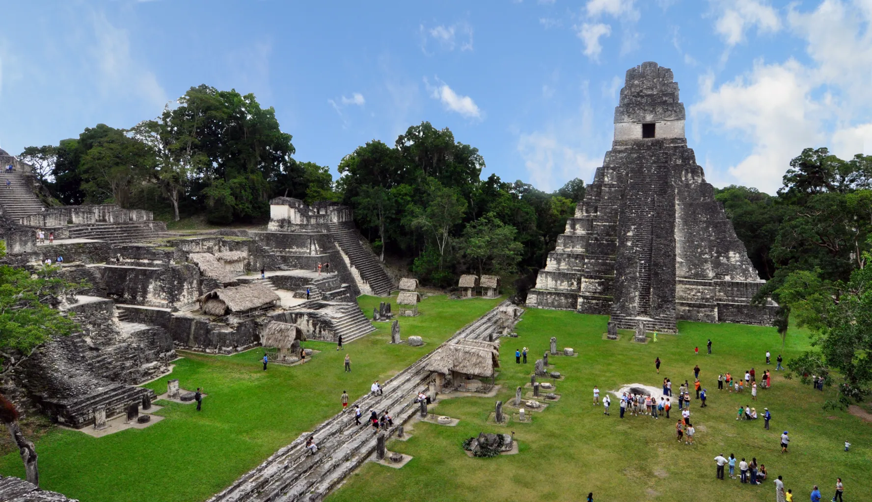
- Structures: Notable structures include Temple I (Temple of the Great Jaguar) and Temple IV.
- Description: One of the largest and most significant Maya sites, Tikal was a major cultural and population center.
- Coordinates: 17.2210° N, 89.6237° W
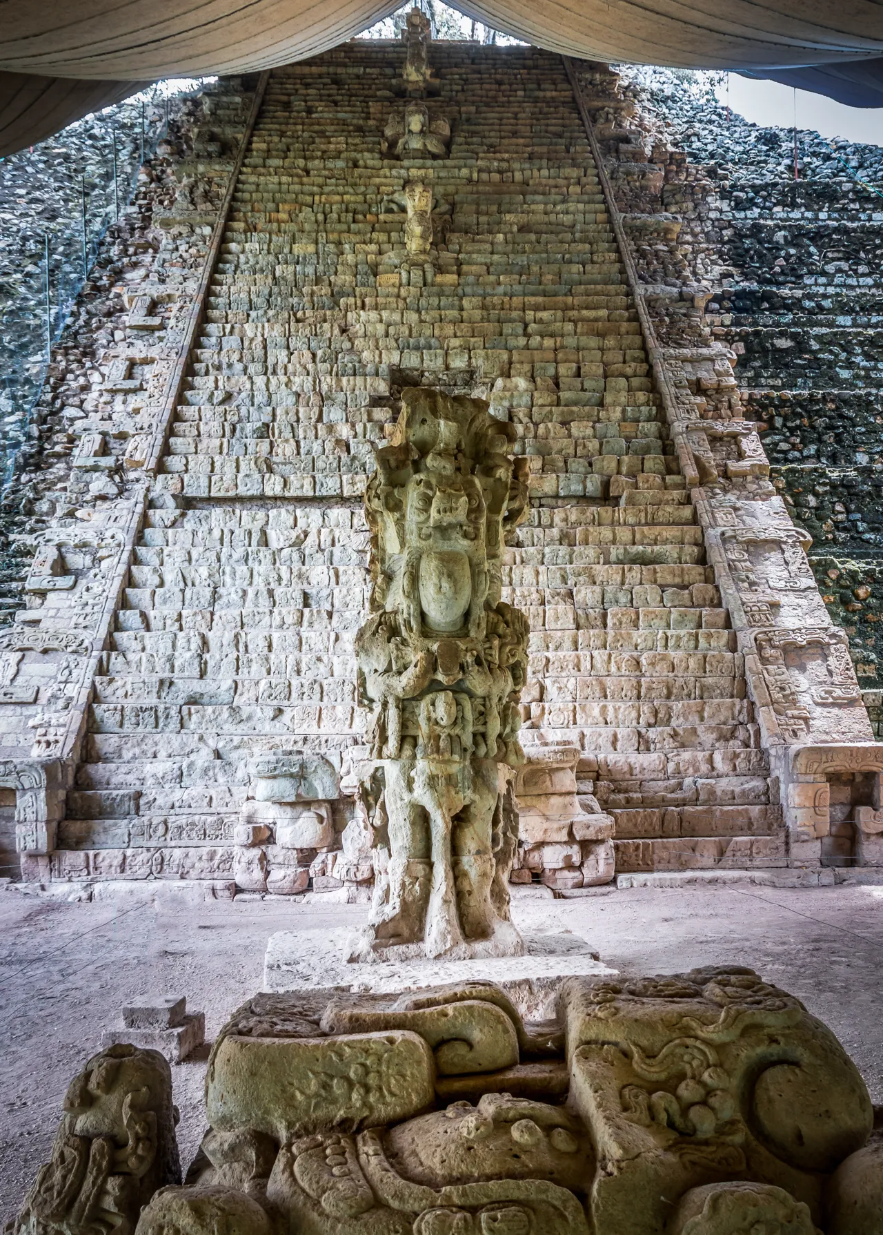
- Structures: Includes the Hieroglyphic Stairway and numerous stelae.
- Description: Renowned for its intricate sculptures and inscriptions, Copán provides extensive historical records.
- Coordinates: 14.8350° N, 89.1486° W
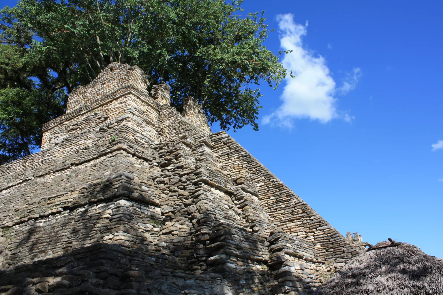
- Structures: Features several pyramid-like structures and the Acropolis.
- Description: Toniná is known for its large acropolis, which includes a series of superimposed terraces and plazas.
- Coordinates: 16.8991° N, 92.0092° W
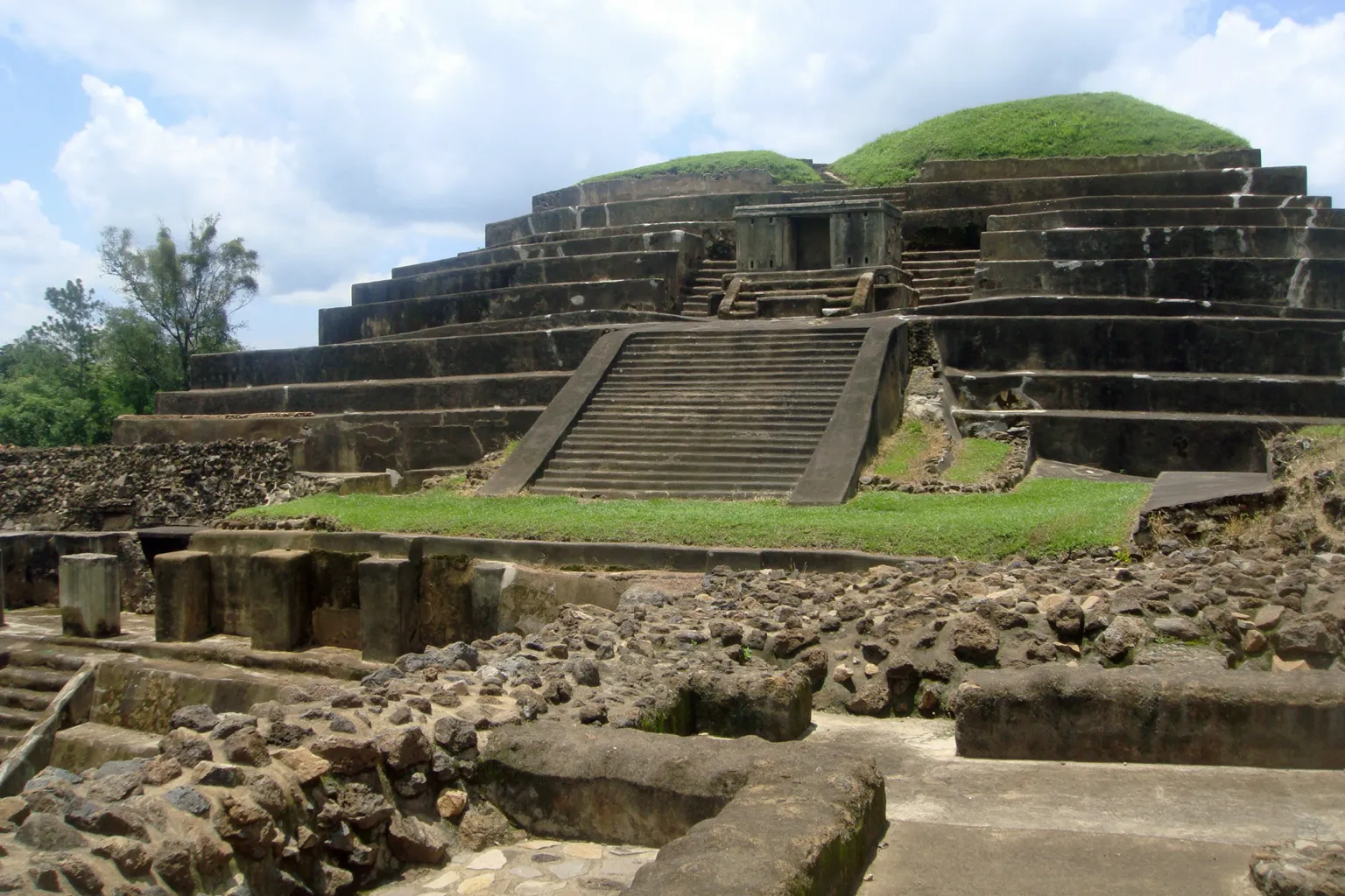
- Structures: Main structures include the Tazumal Pyramid and other ceremonial buildings.
- Description: Tazumal is the most important and best-preserved Maya site in El Salvador, featuring a large pyramid complex.
- Coordinates: 13.9733° N, 89.6731° W
- Structures: Notable for its large defensive moat and several pyramids.
- Description: Becan was an important political and military center in the Maya civilization, with extensive fortifications.
- Coordinates: 18.2964° N, 89.4719° W
- Structures: Features the Great Acropolis and several large pyramids.
- Description: Edzna was an important ceremonial center, with a complex hydraulic system for water management.
- Coordinates: 19.5937° N, 90.2260° W
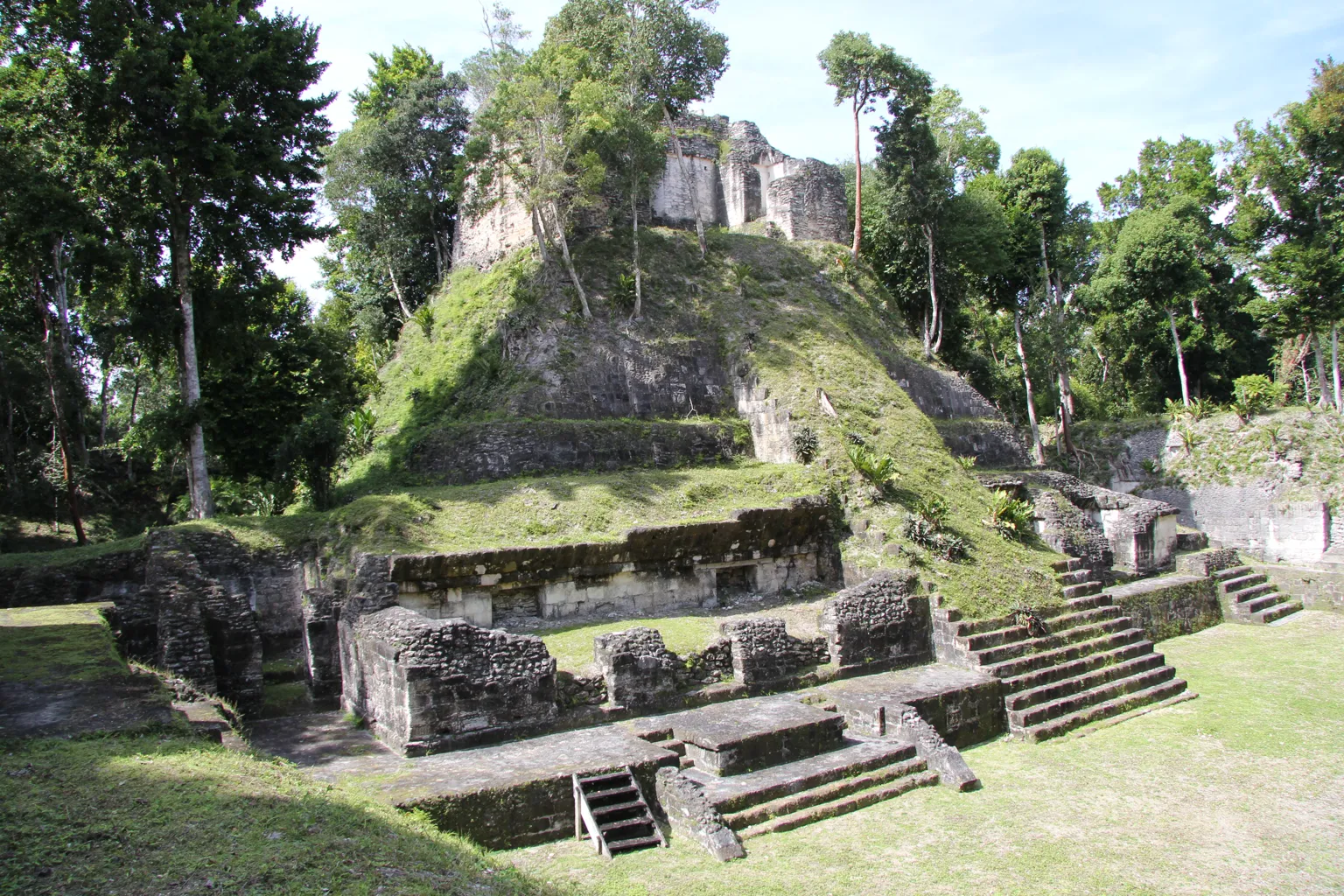
- Structures: Includes several pyramids and large plazas.
- Description: Nakum is a significant site with many well-preserved structures and a rich array of artifacts.
- Coordinates: 17.1781° N, 89.4347° W
- Structures: The site has several large pyramids and a twin-pyramid complex.
- Description: Yaxha was a major ceremonial center and features a well-preserved network of causeways.
- Coordinates: 17.0756° N, 89.3986° W
- Structures: Notable for its labyrinth and pyramidal structures.
- Description: Oxkintok is one of the oldest Maya sites in the Puuc region, with a unique architectural style.
- Coordinates: 20.4981° N, 89.8747° W
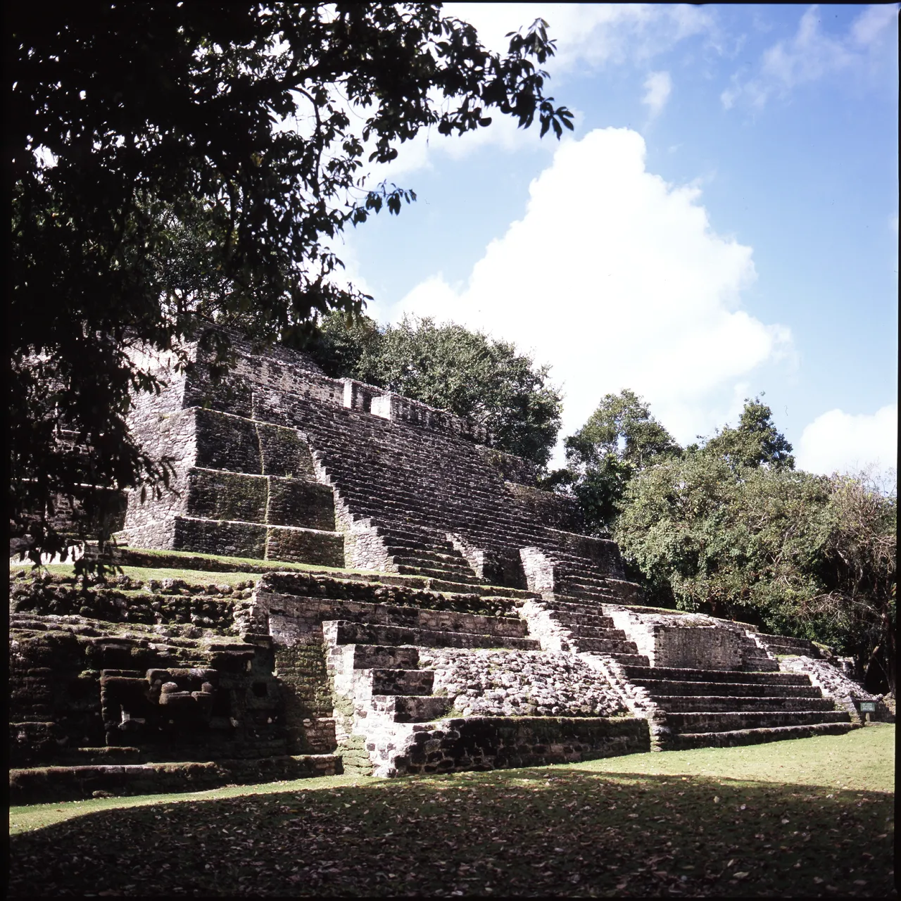
- Structures: The site includes several large pyramids, temples, and residential buildings.
- Description: Lamanai, one of the longest-occupied Maya sites, is known for its impressive pyramids and a well-preserved Mask Temple.
- Coordinates: 17.7528° N, 88.6541° W
- Structures: The main structure is the Kinich Kak Moo Pyramid, one of the largest in volume in the Yucatan.
- Description: Izamal is known as the “City of Hills,” referring to its many pyramid structures, and was a significant pilgrimage site.
- Coordinates: 20.9334° N, 89.0200° W
- Structures: The site features several large pyramids and ceremonial platforms.
- Description: Moral Reforma was a significant political center with structures indicating its importance in trade and governance.
- Coordinates: 17.9481° N, 91.4747° W
- Structures: The site includes pyramids, ball courts, and plazas.
- Description: Mixco Viejo served as the capital of the Poqomam Maya and features well-preserved defensive walls.
- Coordinates: 14.9075° N, 90.6256° W
- Structures: The main structure is La Danta, one of the largest pyramids in the world by volume.
- Description: El Mirador is considered one of the most significant Preclassic Maya sites, known for its massive pyramids and extensive causeway system.
- Coordinates: 17.7431° N, 89.9404° W
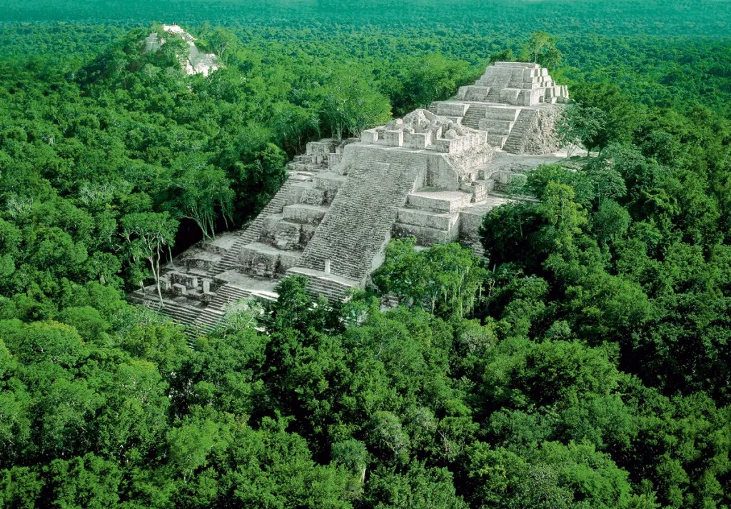
- Structures: Features two large pyramids, among the tallest in the Maya world.
- Description: Calakmul was a major Maya superpower and one of the largest ancient Maya cities ever uncovered.
- Coordinates: 18.1047° N, 89.8103° W
- Structures: Known for its ornate and well-preserved structures, including pyramids and palace complexes.
- Description: Chicanná means “House of the Serpent Mouth,” highlighting its elaborate stone carvings.
- Coordinates: 18.5631° N, 89.4442° W
- Structures: The site features a triadic pyramid structure and several smaller buildings.
- Description: Xpuhil is known for its unique architectural style and the presence of multiple towers.
- Coordinates: 18.5081° N, 89.3947° W
- Structures: The main structure is Caana (“Sky Palace”), one of the tallest man-made structures in Belize.
- Description: Caracol was one of the largest and most powerful Maya cities, with extensive agricultural terraces and an elaborate road system.
- Coordinates: 16.7631° N, 89.1171° W
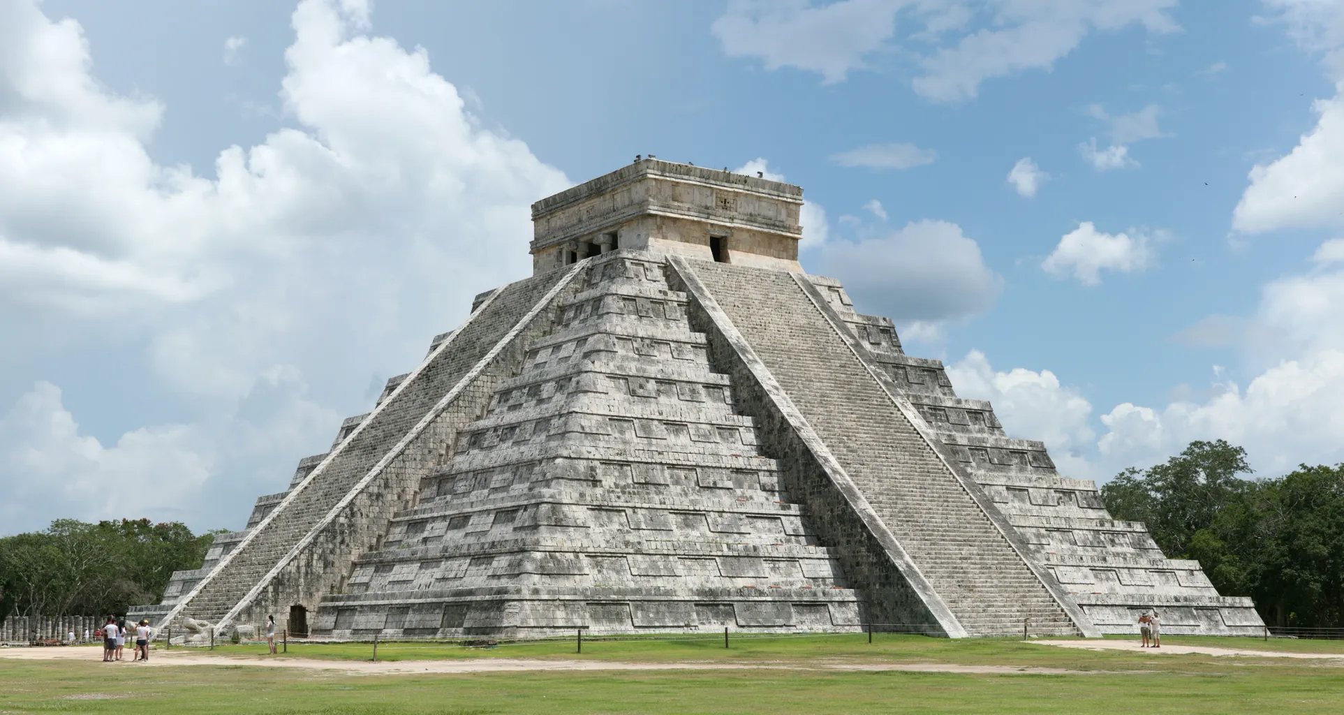
- Structures: The main structure is El Castillo, also known as the Temple of Kukulcán, a step pyramid with a total of 365 steps. Other key structures include the Temple of the Warriors, and the Great Ball Court.
- Description: Chichen Itza is one of the most famous and well-preserved Maya sites, reflecting a mix of Maya and Toltec influences.
- Coordinates: 20.6843° N, 88.5678° W
- Structures: The Acropolis is the main structure, notable for its large size and detailed stucco work.
- Description: Ekʼ Balam is known for its impressive defensive walls and elaborate decorative features.
- Coordinates: 20.8920° N, 88.1410° W
- Structures: Features several large stelae and a ball court.
- Description: Nim Li Punit is known for its impressive stelae, which provide insights into the political history of the region.
- Coordinates: 16.2890° N, 88.7856° W
- Structures: The site is famous for its Temple of the Masks, featuring large stucco masks.
- Description: Kohunlich was a major ceremonial center, with well-preserved structures and extensive residential areas.
- Coordinates: 18.4140° N, 88.7950° W
- Structures: Includes several pyramids and residential structures.
- Description: Pomona served as a regional center with significant trade and cultural activities.
- Coordinates: 17.7267° N, 88.8275° W
- Structures: Known for its large plazas, temples, and sculpted monuments.
- Description: Piedras Negras was a powerful city-state with detailed inscriptions that provide a rich historical record.
- Coordinates: 16.9990° N, 90.5053° W
- Structures: Features several small pyramids and residential buildings.
- Description: Tayasal was one of the last Maya cities to remain independent before Spanish conquest.
- Coordinates: 16.9273° N, 89.8928° W
- Structures: Known for its Olmec-style sculptures and Maya structures.
- Description: Tak’alik Ab’aj is unique for its combination of Olmec and Maya influences.
- Coordinates: 14.6344° N, 91.6686° W
- Structures: The site includes several large pyramids and tombs.
- Description: Rio Azul is known for its well-preserved tombs with intricate murals and hieroglyphics.
- Coordinates: 17.4564° N, 89.1653° W

