Lori Berd: A Historical Overview
Lori Berd, located in the Lori Province of Armenia, is a village that lies just east of Stepanavan. This area is not only known for its picturesque landscapes but also for its rich historical significance, particularly the medieval fortress of Lori Berd situated near the village. The fortress stands on a peninsula, surrounded by the deep gorges carved by the Dzoraget and Tashir rivers, at an elevation of 1379 meters.
Get your dose of History via Email
The Establishment of Lori Berd Municipality
The village of Lori Berd, also referred to as Loru Berd in some historical documents, has been recognized in official records dating back to the time of the Russian Empire. The “Law on administrative-territorial division of the Republic of Armenia,” adopted on November 7, 1995, and approved by President Levon Ter-Petrosyan on December 4, 1995, officially organized the “Loru Berd municipality.” According to the census conducted from October 12-21, 2011, the village had a permanent population of 405 people.
Lori Fortress: A Testament to Armenian Fortification
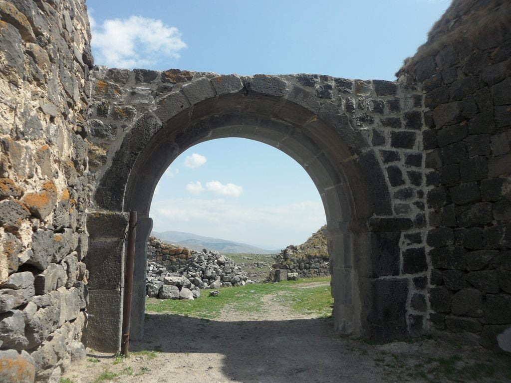
The Lori Fortress, an 11th-century Armenian stronghold, is located near the village of Lori Berd. Constructed by David Anhoghin in 1065, it served as the capital of the Kingdom of Tashir-Dzoraget. The fortress has witnessed numerous historical events, including the siege by Georgian King Giorgi III of his rebellious nephew, Demna of Georgia, in 1177. It fell into the hands of the Mongol commander Chagatai the Elder in 1239.

Originally the base of David Anhogin, who ruled the region of Tashir-Dzoraget from 989 to 1048, Lori Fortress later became a stronghold for the Orbelians and Zakarians, influential Armenian noble families. The site includes ruins of buildings, an ancient cemetery, and Bronze Age tumulus tombs. A 14th-century bridge located in the gorge below adds to the historical significance of the area.
Historical Significance and Architecture of Lori Castle
Lori Castle, also known as Lori Berd, was founded in the early 11th century by David Anhoghin. It was strategically positioned along a northern trade route, connecting major cities such as Ani, Dvin, Dmanisi, and Tbilisi. The fortress and its settlement were home to about 10,000 residents between the 11th and 13th centuries.
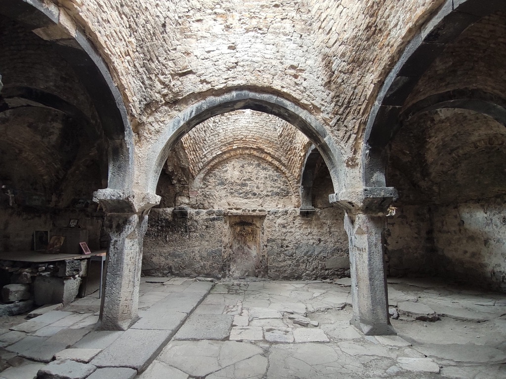
The architecture of Lori Berd is remarkable, with a 214-meter-long wall that measures up to 25 meters high and 20 meters wide. The fortress contained a palace, baths, chapels, and private apartments. An underpass to the Miskhana River ensured access to potable water and communication with the outside world. The territory also features numerous Armenian cross-stone khachkars.
Lori Castle Bridge
Adjacent to Lori Berd is a bridge associated with the castle, exemplifying medieval Armenian bridge construction. Built between the 11th and 13th centuries on the Miskhana River, this single-span bridge is made of smooth basalt stone, measuring 9 meters in length and 2.8 meters in width. Despite being severely damaged in a flood in 1918, it was repaired by local residents and remains a testament to the engineering prowess of the time.
Conclusion
Lori Berd and its fortress stand as a testament to the rich history and architectural ingenuity of medieval Armenia. The area’s strategic importance, coupled with its historical events and architectural marvels, make it a significant site for understanding the region’s past. Excavations have revealed tools, pottery, coins, and imported items, confirming the fortress’s role as a crossroads of international trade. Lori Berd remains a vital part of Armenia’s cultural and historical heritage, offering insights into the country’s medieval period.
Sources:

