The Bull Ring: A Neolithic Henge Monument
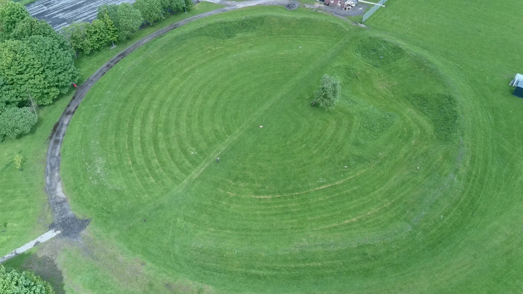
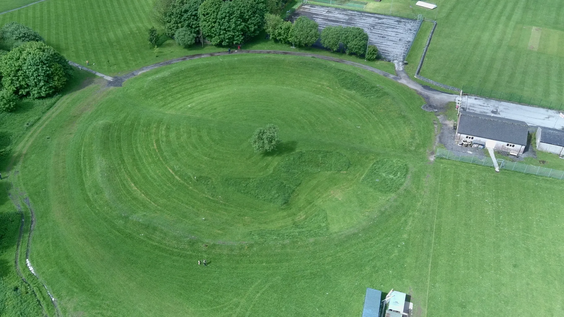
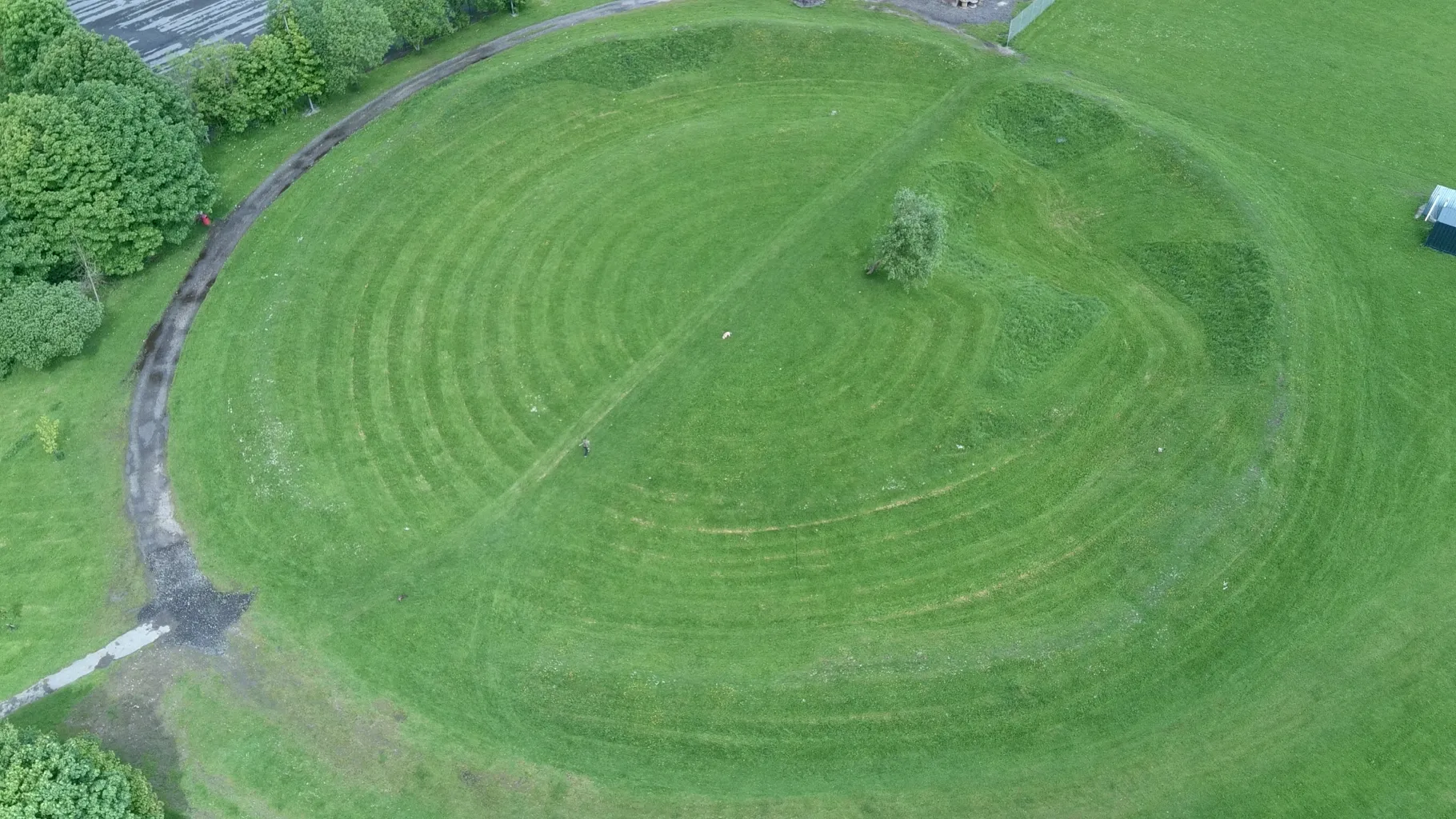
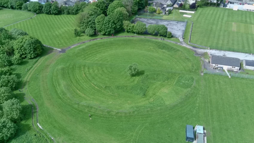
The Bull Ring is a henge monument dating back to the late Neolithic period (2800-2000 BC). Henges are rare examples of national monuments, likely serving as ceremonial or ritual sites for scattered Neolithic farming communities. Some henges remained in use during the early Bronze Age (2000-1500 BC), when large standing stones were sometimes erected.
Get your dose of History via Email

Standing Tall Through Time
Today, the Bull Ring measures just over 90 meters in diameter. It boasts a circular external bank and an internal quarry ditch, creating a flat central platform. Entrances through the bank and causeways across the ditch are positioned at the northern and southern ends. Originally, both the bank and ditch were twice their current height and depth.
Archaeological descriptions from 1789 mention a single large stone once standing within the site. While it’s possible several large stones were initially present, no conclusive evidence for them has been found despite various archaeological investigations.

A Landscape of History
Adjacent to the northern causeway lies a small 19th-century stone quarry. About 20 meters southwest of the henge, a mound rests near the graveyard wall. This mound is believed to be an early to middle Neolithic (3400-2800 BC) oval barrow, later overlaid by a late Neolithic to early Bronze Age bowl barrow. Oval barrows are uncommon national monuments, sometimes used by Neolithic communities for communal burials. Bowl barrows, used for single or multiple burials, are more frequently encountered.
Location and Dimensions
The Bull Ring is a Class II henge situated near Dove Holes in Derbyshire, England. Its coordinates are 53.300695°N 1.884423°W (grid reference SK 0785 7823), and it holds National Monument number 23282. The henge consists of a large, circular earthwork, currently about 1 meter high and 9–11 meters wide. Originally, it stood 2 meters high and measured 5.5–7 meters wide. An internal ditch varies in depth from 0.5 to 1 meter and ranges from 8 to 12 meters wide. In its original state, the ditch was 1.2–2 meters deep and 5–6.5 meters wide. A berm, originally 5 meters wide, separates the ditch and bank. The henge encloses an area 53 meters north-south by 46 meters east-west, with entrances to the north and south, each paired with a causeway across the ditch.

Unveiling the Past
Legend speaks of a skeleton found near the north entrance, which was unfortunately damaged by quarrying in the 19th century. The henge’s center was ploughed in the 18th century, and a drystone wall was built across the site during the same period. A single standing stone was documented in 1789, potentially a remnant of a stone circle.
Access and Parking
Address: Bullring Ancient Henge, Dove Holes, Buxton
Access to the site is easy, you turn off the main road into a small private road and there are a few car parking spaces at the end. The Henge is next to a park, and so it’s freely accessible anytime without any fee.
If you are looking to visit similar sites, try visiting Arbor Low Henge and Stone Circle which is close by.
Sources:
Signs at the site itself
Wikipedia


